You’d think that someone would start small and work up to a 75 pound salmon but Jack does it the opposite way. When coming to Alaska years ago he caught the huge salmon first and then is working down and crossing the small fish off his list as he goes.
This summer he got his first Arctic Grayling. Six to be exact. We kept the first few and cooked them for dinner, but they were a bit mushy and muddy tasting, at least compared to the beautiful trout we’ve been getting. From now on we’ll catch and release grayling.
Here are some photos from our late summer Steese Highway camping trip and Jack’s first grayling. Click on the first one and scroll to the right for the best viewing. Hope you all had a great summer.
You can’t get a better camping spot than this one right by the river.
Jack trying to remember how to tie a leader onto the line.
Beautiful (and effective) beaver dam right next door.
There it is, his first grayling.
We were saddened to see that this one never got to deposit its eggs.
Two fully intact snails in the grayling’s stomach!
More fishing.
Another grayling.
Jack’s wife, me, enjoying the sun.
Jack next to his beauty of a firepit.
Nature’s beer cooler.
Ready for a lovely dinner. Better get close to the campfire though, it’s chilly.
Recently Fairbanks and the surrounding areas have been getting a lot of rain. So when Jack and I visited the Chena Dam the other day the floodgates had been lowered in order to prevent high water from flowing downstream toward Fairbanks. This results in the river backing up into the reservoir area behind the dam but saves Fairbanks as it has many times since it was built almost 40 years ago.
Dermot Cole of Alaska Dispatch News wrote in 2014 when the floodgates were lowered then that Fairbanks’ “most effective flood insurance policy … takes the form of an unusual dam with four 30-ton gates that operate like giant garage doors, stemming the flow of high water when the river rises. The floodgates are one element in an extensive federal flood control project that cost a quarter-billion dollars by the time of its completion in 1979.”
Click on the first photo and scroll to the right to read the captions.
This is the reservoir (floodway) that is now filled because the floodgates were lowered.
A little bit of green is still above water.
That’s our rig in the parking lot where you can access the top of the levee.
This shows Jack standing on the 7 mile long “Moose Creek Dam,” the levee.
The floodgates are in the top right corner of this map. We were a mile or two away from them on what’s labeled here as the Moose Creek Dam, the long straight levee that leads to the Tanana River. Map from US Army Corps of Engineers.
Here are the floodgates.
Another map, also from the US Army Corps of Engineers website. It shows a more realistic perspective of the whole setup.
On the opposite bank there’s debris that’s been picked out of the water on the other side of the floodgates.
Looking toward Fairbanks.
This is a terrific area with tons of biking/walking trails, boat rentals, a beach, camping, etc. There are day use volunteer hosts who take care of this lovely place.
Not everyone gets to see the floodgates being used on such a beautiful day. We’d be willing to bet that most Fairbanksans haven’t even been here.
From top to bottom they say: “Tanana River 40 miles”, “Yukon River 250 miles” and “Spawning Grounds next 35 miles.” Kings actually run through here as well as chum salmon and you can view them from the floodgates when they finally get here from the ocean each summer. I love the artwork but the salmon look more like silvers and pinks than kings and chum. 🙂
Now we’re on the other side of the floodgates looking down to the reservoir.
Volunteers maintain this area for wildlife, cutting hay, putting up nest boxes, burning to keep the brush low.
Not all of the hay got moved before the flood.
The sign shows the high water mark which was in 1992, the only time overflow water made it all the way to the Tanana River.
This is the side of the Chena River floodgates where water is building up and you can see tons of debris that has to be picked out by the crane. They sometimes offer it to the public for firewood.
This dam handles water coming from 1500 square miles of drainage.
According to adn.com, Fairbanks used to flood every 5th spring or so and this was actually desired so that barges could make it farther upstream. Fairbanks was founded by PT Barnette when he was stranded because of low water and a year later he struck gold.
At the end of a walkway that juts into the floodway someone has placed a beautiful memorial bench to someone named Joyce.
For more info: a slideshow on the Army Corp website and this pamphlet for a little more in depth information.
Jack and I had an amazing moose experience in Healy a few days ago. Otto Lake is moose haven. We saw at least 6 moose in a 24 hour period. Here is a photo story of a cow moose and her two babies, and her yearling that she is trying to shoo away. Be sure to click on the first one and scroll to the right to see how it all went down.
The cow moose on the right chased the smaller one, her yearling, away. He doesn’t look too scared but she charged at him several times.
Casually sipping water. The lake is very shallow.
Does he not look just terribly devastated here?!?!? It’s really a sad sight.
She came back several times.
She’s looking back at him but seemed also to be preoccupied.
She heads back the other way.
You can see how close she is to our camper!
And now we know why she was shooing the yearling away! She’s got two calves to take care of.
She keeps trying to scare him away.
One baby ventures out.
But rushes back to the shore.
Then both of them wade into the marshy grass to nibble.
Then they come back toward us, walking along the shore.
Looks like a kangaroo face to us.
What a cute little bugger.
Here comes Mom getting in my shot.
And they follow her.
Trying to keep up.
Before they walk down the hiking trail (aka game trail) Mom stops to nibble.
Looks like they want to nurse.
You can see how very skinny the mother is. It’s no doubt that she needs to constantly eat to keep up her ability to nurse and take care of her babies. Her yearling just doesn’t have a place in this family anymore.
They were very alert but not scared at all by us.
Sometimes it seems like they made the same general movements but it could be that the smaller one, on the left, is copying the larger and more assertive one.
They nuzzle noses and do a lot of other movements that remind you of horses.
They are a lot to take care of, and a lot to trip over.
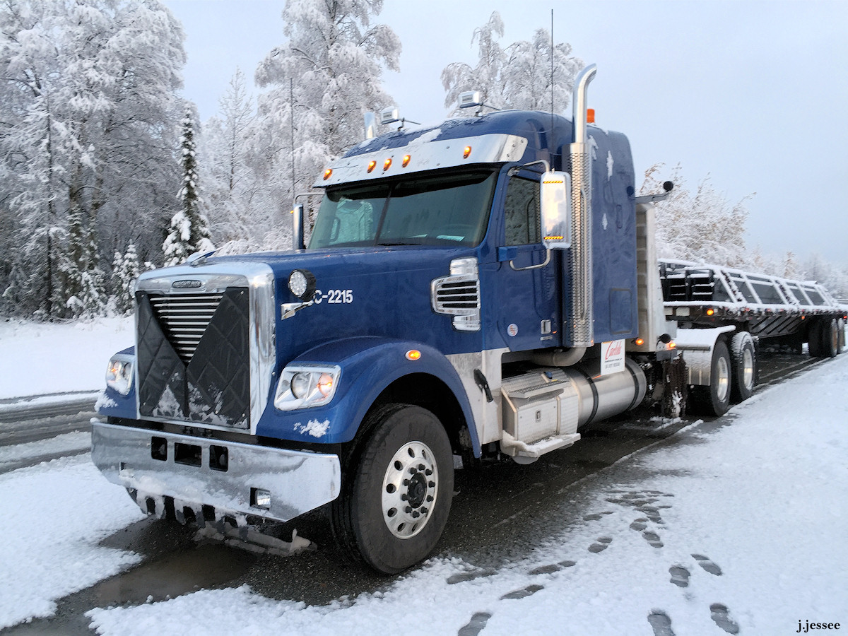
This was Jack’s first heavy haul load. He wasn’t actually part of the a heavy haul division yet but obviously it was a landmark load for him.
You can see the partially melted snow and the dry road. We are almost to that point in the year right now, and you can probably believe that it is an exciting time for us Alaskans who have snow 8 or 9 months of the year!
An amazing thing happened when I was on the road with Jack one time.
We woke up at what the truckers call 62 Mile, a good-sized pullout used by truckers and tourist buses and just anyone traveling the road. It was late September and the drive up north had been sunny and crispy cool. I could not have gotten luckier on a time to be on the Haul Road. Orange and yellow autumn colors abounded and even a pink birch tree showed up every so many miles. (Click to enlarge.)
No snow had fallen, but when we woke up that morning at 62 Mile the tundra outside was a winter wonderland. There were tourists milling about, gazing at the frosty grasses that surround the pull out.
And as you can see, there was a long line at the restroom, so I decided to take a walk out onto the tundra, and I’m so glad I did.
I discovered frost-covered fireweed, spider webs glinting in the morning light, and best of all, an absolutely stunning mist rainbow. I hadn’t known they even existed before, but now I have proof they do. As the frost was evaporating off the tundra, the water vapor in the air created a rainbow that shimmered in the sun’s light. As I stood watching, the sunlight slowly burned off the frost on the ground, leaving plants thawed on one side and still frozen on the other, and the glorious rainbow eventually faded away with the warmth of day.
A moment of astounding beauty. Luckily, I took a quick video and lots of photos, some of which may give an inkling of how amazing that morning was. If anyone ever tells you that the arctic tundra is a frozen wasteland with no redeeming qualities, here is proof that it is not true.
The hill that drivers call “Koyukuk” is right next to the Koyukuk River and it’s one of the steepest on the Dalton. It’s about 30 miles south of Coldfoot. The video was taken last winter.
Jack happened to be there to document this huge mod being pushed up the hill by push trucks and also being steered from the back because it’s so long. If you look close you can see someone standing outside on the load as it goes up the hill – he’s steering the rear end as it goes around the curves. The guy doing the steering is one of the former owners of Carlile and he comes up the Dalton for these types of loads that need some special care. (Carlile was sold to Saltchuk Corporation a while ago.)
In case you are wondering, the truck is going pretty slow, about 5 miles an hour in 3rd gear. The last thing you ever want to do, Jack says, is change gears when you’re going that slow with that much weight since you’ll stop before you get it into a different gear. If you stop it’ll take a while to get going again and without the momentum you’re putting a lot of strain on the truck and there’s too much potential for breaking something. The years Jack spent in heavy haul were great years he says, but he doesn’t miss it.
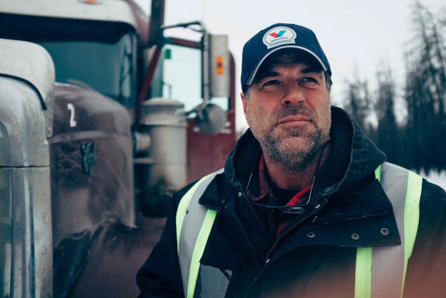
Jack is driving a new truck, a Freightliner. He’s discussed this a little in the comments section of the About page. Jesse Aird asked: “Why the Freightliner? Hard to beat a W9.” Jack answered:
“Well, my bosses asked me if I wanted to try it out and I know a lot of owner operators have them up here and like them, so I did. Turns out the engine is great (DD16), there’s lots of room in the cab, and I don’t feel exhausted at the end of several trips in a row, maybe because of the comfortable seat. The truck rides better. I don’t care what brand it is as long as it’s comfortable and reliable.”
He added to Pete Wylie aka Straight Arrow: “There is something about the Freightliner that makes a better ride. It takes bumps better.”
So there you have it, why Jack is driving a Freightliner.
A few weeks ago Jack and I went north on the Steese Highway to camp for a few days. When we got there it was a normal clear day but dense smoke rolled in later in the weekend and luckily we were on our way out. The road we were on, US Creek Road, gave us a good view of the hillside and one fire. A helicopter was scoping it out but you can’t see it very well in the photos. Later the road was closed by BLM. There’s a couple of Jack fishing shots too. The grayling weren’t biting but I think Jack could’ve kept trying for hours….well he did actually. To view them at the correct size, click on the top one and scroll to the right.
It was a beautiful day when we drove in.
You often have things all to yourself in the White Mountains.
In the next photo you’ll see a forest fire on this hillside.
Forest fire, courtesy of a lightning strike the night before.
After a night of thunderstorms several fires had been set by lightning, and as we found out later, similar had happened all over Alaska.
US Creek Road is on the right.
This is a previously burned area in front of a smoky hillside.
Here’s Jack fishing for grayling with smoke in the background.
Arctic Grayling have a large blue spotted fin on top which Jack snapped a good shot of with his phone.
Here are the last of the photos from when Jack was leaving Prudhoe Bay on June 6th. There’s more info on the captions. Click on the first one and scroll to the right.
The top is the berm that was created in hopes of keeping the river back and the gap underneath is from where water was flowing.
The remnant on top of the hole was snow pushed up into a berm to try to stop the water flow.
This is the west side of the road, not the Sag River to the east.
East side where the river is, still partly frozen.
A big chunk of grounded river ice in the background.
The Sag in the background.
Eroded road and the pipeline is buried right there.
Staged culverts, but not needed. Probably 40 feet long.
Those white broken pieces are foam board insulation used to prevent the ground ice from melting if it is exposed for some reason. They are now trash.
Another section of reconstructed road.
These concrete forms were originally used to weigh down the pipeline as it was laid, in the 1970s, so that it wouldn’t move or float away, but aren’t needed when the oil is flowing.
Here they’re being used as erosion control for the natural gas line that runs from Prudhoe to Pump Station 4.
Waiting as material gets laid.
Staged culverts, probably not needed.
A Kenworth logo on Jack’s steering wheel thrown in for good measure.