The Sag River has been overflowing its banks this past month. So much so that it has been giving the truckers and the State (of Alaska) a bit of a headache. The photos below are from about 10 days ago and a lot more drama has happened since. We’ll have updated photos for you in a couple of days.
The Sag River follows the Dalton Highway for quite a few miles during the last 100 miles of the road, when you’re nearing Prudhoe. So when we say it

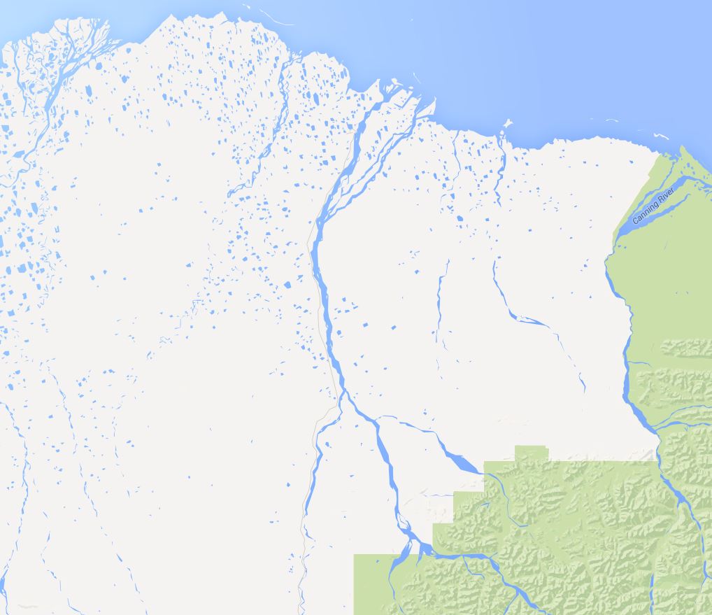
The Sag River runs along the Dalton Highway for about 100 miles.
is overflowing near the road it could be happening at many different spots, and it is doing just that. According to Jack, overflows are normal but this river overflowing in this area is an unprecedented occurrence since he has not known for it to have ever happened before. No one he’s talked to has either. It’s not an uncommon thing for rivers to do though.
All the talk now is if the State will be able to handle the situation when actual break up occurs. Temperatures are still well below zero pretty much all the time right now so we haven’t seen the worst of it. The question is, what’s going to happen during break up when everything starts to really melt?
Click on the first photo and scroll through to see them full size with explanations.

Coming from Prudhoe, the Sag River runs along the Dalton Highway on the left and as you can see it has overflowed its banks. The State has come through and plowed to create a berm but that’s not stopping it. (Jack is driving south.)

The State has plowed away the overflow as much as possible but it keeps flowing onto the road.

Jack looks out the driver’s side window toward the river. This is not the kind of ice road he prefers to drive.

Jack says he thinks the State plowed through a hole so the river would flow at that one spot instead of in many others.

The road is white where it has overflowed the road and frozen. All of these photos were taken in the same day so you can see how much the road changes from place to place.

The river is overflowing on the left and you can see where it’s flowing into the ditch on the right.

You have to go through this slow because when the water splashes it will freeze quickly onto whatever it lands on. Breakes and valves are not meant to be wet and frozen like that.

Water on both sides of the berm. The farther side has a layer of ice on top, and actually multiple layers of ice and water. The ground might be 3 feet below the layer of ice we are looking at.

There is no berm in this portion of the road and you can see the top layer of ice with water flowing underneath it.


Thanks for sharing these pics! You can sure get a ‘feel’ for how hazardous driving conditions are for everyone. My dad, now 80 years old, was a long haul trucker, here in the Southeast, for many years. He’s long since retired but still likes to hear (or see) about ‘life on the road’ from other’s in the trucking industry. I’ll be sure to show him these pictures tomorrow. He will enjoy seeing them and I’ll look forward to more posts. Stay safe, Jack, and all the fellow truckers. Thanks for keeping up the good work on the blog, Judy. I hope you guys have a wonderful Easter weekend.
Jesse and Judy, u have a wonderful blog and I enjoy looking and reading. Today though, I would like to see ur efforts maybe get bigger and try to bring the Dalton Overflow problem out further. I am sure our Alaksa government is aware of this, but DOT needs more help! As u satay spring is going to hit. Lot harder, things need to get handled now before that comes. How can we make this bigger and get the attention it needs now.
Thanks Jack. We enjoyed the photos. Fans, Charles and Linda Rogers Oroville, CA